
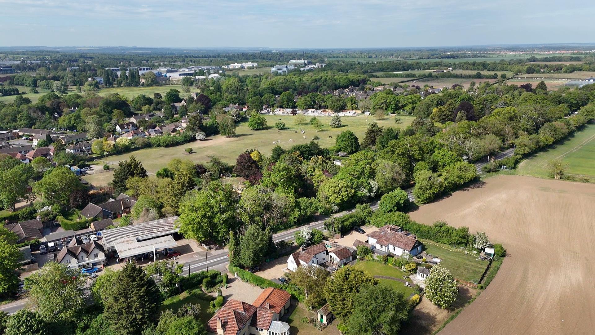
Little and Great Abington are historic villages whose character has been shaped over centuries — conservation areas, medieval and post-medieval buildings, estate landscapes and a settlement pattern along the River Granta that is rare and remarkably intact. The Council's own assessment recognises the surrounding rural setting is essential to their significance.
Heritage is not just about buildings — it is about place, setting and identity. A new town on the ridge above the Abingtons would sever the villages' relationship with the open chalk landscape forever.
The proposed Grange Farm new town would sit 30–40 metres above the Abingtons, on one of the highest points in South Cambridgeshire. From this elevated position the development would be visible from the High Street, from listed buildings, from the conservation area, and from long-distance viewpoints across the chalk hills.
Viewshed analysis and on-site photography confirm the site is already visible from the Gog Magogs, Babraham, Great Chishill, Royston and the Hertfordshire chalk downs. A town of 6,000+ homes on this ridge would dominate the skyline and permanently alter the setting of both villages.
The villages' heritage value comes from their relationship with the open chalk landscape, the River Granta, and the long views that frame them — it is what allows them to remain distinct, detached rural settlements rather than suburbs of Cambridge. A new town on the ridge would overwhelm that relationship and the very thing that defines them.
Policy S/GF claims the development will "respect, protect and enhance" the rural setting — yet provides no binding height limits, no controls on massing, and no explanation of how a landscape buffer could screen a settlement of this scale on elevated ground.
The experience of One Granta Park — a single tall building visible from multiple villages — shows how even modest height on chalkland has far-reaching visual impacts. Replicating that across thousands of dwellings would fundamentally change the character of the entire area.
The proposed "Strategic Enhancement Area" is presented as a green buffer, but its width and location are insufficient to protect the Abingtons' heritage setting. The development is positioned at the closest point to both villages, rather than set further north or east where topography and distance could reduce harm.
No evidence is provided to show how light pollution, night-time glow, or the repetition of tall buildings would be prevented from spilling across the landscape. The Council's own assessments acknowledge that development here risks irreversible harm.
SAVE is not against new homes. We are asking that no decision is taken until the evidence proves this can be done safely. Specifically:
Enforceable controls in policy — not aspirational wording — so the scale and form of any development is fixed before it is approved.
Independent analysis of the impact on the conservation areas, listed buildings and long views, using the Council's own viewshed evidence.
Evidence that any landscape buffer can realistically screen an elevated settlement of this scale — or recognition that it cannot.
A demonstrated plan to prevent night-time glow and lighting spill across the dark chalk landscape.
Consider locations further north or east where topography and distance would reduce harm to heritage settings.